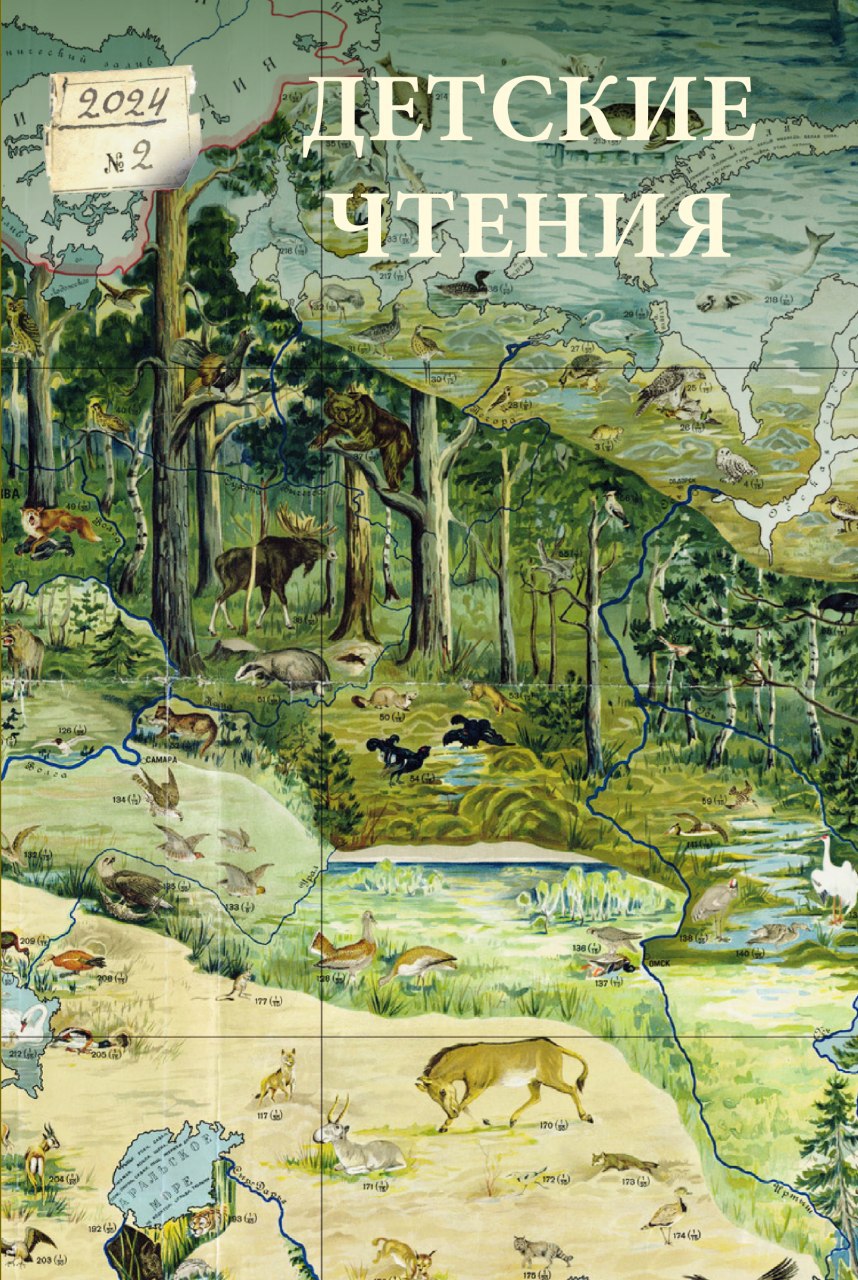
GEOGRAPHICAL MAPS IN THE YEARBOOK ‘GLOBUS’ (1930–1980S)
DOI:
https://doi.org/10.31860/2304-5817-2024-2-26-167-183Abstract
This study analyzes the geographic yearbook for children and teenagers, “Globus”, published by “Detgiz” (“Children’s Literature”) from 1938 to 1990. “Globus” represented a unique phenomenon in Soviet publishing as an illustrated serial popular science book for adolescents and youth. For the first time, a brief analysis of the artistic design of the yearbook is provided. The visual appearance of “Globus” reflects key stages in the development of illustrated popular science books in the Soviet Union from the 1930s to the 1980s, alongside shifts in cultural eras and artistic directions. This includes the general trend towards simplifying information, adapting materials to specific age groups, replacing cartographic syntax with pictograms that maintain the primary symbolism of the depicted object, and incorporating generalized and stylized images over mapped territories. In the yearbook, the main tool of visual communication was the geographic map. It was used not only as a standalone graphic sheet to convey information about the spatial organization of the world but also as a symbol for conveying the cultural identity of the country and showcasing societal achievements such as territorial expansion, economic, and agricultural advancements. Additionally, it served as a formal element in the composition of artistic illustrations. Over six decades, the maps in “Globus”, which originally conveyed spatial information about the studied territory, evolved into map-illustrations with a complete artistic image. There was a gradual shift from maps to a frame-by-frame perception of reality through author’s drawings and photographs.
Keywords: “Globus”, publishing house, Children’s Literature, popular science publication, maps, children’s maps, yearbook, Detgiz, children’s literature


